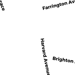
124122 BRIGHTON AV
Owner Information
BRIGHTON 122 ASSOCIATES LLC MASS LLC
39 BRIGHTON AV
ALLSTON, MA 02134


Property Details
124122 BRIGHTON AV is classified as a IMPUTED - Commercial (Ret/whsl/service).
The primary structure on this property was built in 1910. There are 14661ft2 of built area within this property. There is 13887ft2 of residential/living space within this property.
124122 BRIGHTON AV is valued at 2711100. The land is valued at 1041300 and the structures are valued at 1657500. There is an additional valuation of 12300 on this property.
The most recent deed for 124122 BRIGHTON AV is recorded at the local registrar in Book 44929, Page 137. 124122 BRIGHTON AV was last sold on 2009-05-14 for 3080000.
Assessment data from fiscal year 2020.
Flood Data
According to the FEMA National Flood Hazard Layer, this property does not appear to be in a flood zone. It may also be in an area not yet reviewed. Nonetheless, confirm this information prior to taking any action.
To view the flood hazards around this property, create a FEMA "Firmette" Map of the area around 124122 BRIGHTON AV.
Broadband Internet Providers
| Provider | Type | Bandwidth (mbps) | |
|---|---|---|---|
| Crown Castle Fiber | Fiber | 0 | 0 |
| Viasat Inc | Satellite | 100 | 3 |
| Verizon New England Inc. | DSL | 15 | 1 |
| Verizon New England Inc. | Fiber | 940 | 880 |
| Comcast | Cable | 1000 | 35 |
| Starry, Inc. | Fixed Wireless | 200 | 200 |
| netBlazr Inc | Fixed Wireless | 50 | 50 |
| T-Mobile | Fixed Wireless | 25 | 3 |
| GCI Communication Corp. | Satellite | 0 | 0 |
| HughesNet | Satellite | 25 | 3 |
| VSAT Systems, LLC. | Satellite | 2 | 1 |
Broadband service provider data from December 2020.
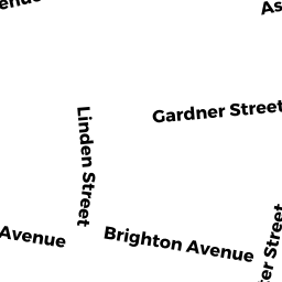
Adjacent Properties
- 79 Linden ST
Apartments with Four to Eight Units owned by 30 GIBSON LLC - 81 Linden ST
Two-Family Residential owned by MARK ROSENBERG 2015 REALTY TRUST - 77R Linden ST
Farm Buildings - barns, silo, utility shed, etc owned by BRIGHTON 122 ASSOCIATES LLC MASS LLC - 120116 BRIGHTON AV
IMPUTED - Commercial owned by ONE 08-120 BRIGHTON AV LLC - 128 BRIGHTON AV
IMPUTED - Commercial owned by FERN ASSOCIATES LLC MASS LLC - 138 HARVARD AV
IMPUTED - Industrial owned by 138 HARVARD LLC - 144140 HARVARD AV
IMPUTED - Commercial owned by NORA LLC